Walks: Easy walk on outskirts of Scarborough


Start from the Crown Tavern, at the junction of the A171 Scalby Road, and the Falsgrave/Stepney Roads. Continue up the gently-rising Stepney Road as far as number 19 St Cecilia’s Care Home. Cross the road here, as it’s safer away from the bend.
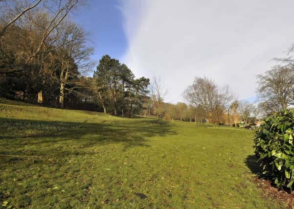
Next, turn left past the post box, up Park Avenue. Keep to the left footpath, and passing two roads off left, reach Oak Road. Here, go straight ahead to enter Falsgrave Park, and bear right to read the ‘Welcome’ information board.
Advertisement
Hide AdAdvertisement
Hide AdContinue up the hill, with bushes on your right. A few steps ahead, fork right up the steep hill with trees either side. Snowdrops and daffodils greet you in springtime.
Ignore a path forking left, to continue uphill to the start of rustic fencing. Stop! From this point, go right up three steps. Follow the path up to low walling. Ascend five netted and railed steps to a walkway and turn left on netted boarding. Just two steps lead to a path off left to a well house.
Walk around the enclosed well and read the information plaque, re Falsgrave park Conduity House.
“The place-name, Springhill, which appears frequently in this area, is an indication of the importance of springs in this hillside. These have long provided a water supply to Falsgrave, and indeed to Scarborough itself.
Advertisement
Hide AdAdvertisement
Hide AdThe Damyot Stream was the town’s original water supply. It rose in Albemarle Crescent and flowed into the sea near the lifeboat house.
The old Norse ‘dammit’ meaning ‘dam’ and ‘geyt’ meaning gushing spray or stream may account for its name.
“In 1339 Franciscan friars tapped the springs in the park and built a stone channel called a conduit to bring water from here to two troughs in the Old Town, the Middle and Lower Conduits.
This too became inadequate, so the friars built another conduit to tap springs higher up the slope. These then delivered water to the Upper Conduit, a trough on the corner of St Thomas Street and Newborough.”
Advertisement
Hide AdAdvertisement
Hide AdDo read the entire information before going up the bank, and keep ascending seven broad steps between brambles and a further three beside a rustic fence, to turn right up a further 27 railed steps into a field. Here, go left, with woodland descending below.
You quickly reach a large circle of rocks in the middle of the field, with a huge, flat central rock. From here cut across the field to find near the hedged boundary a fine, wooden carving of an owl. Continue in the same direction past a seat and other features.
At the far end of the field, turn right on a (muddy) path alongside a corrugated iron boundary, with hedging opposite.
Follow this broad track alongside metal railings, around the reservoir off left. This track soon enters Springhill Lane.
Advertisement
Hide AdAdvertisement
Hide AdTurn left, and follow hedging fronting white houses, with a gentle descent past recently-build properties to the crossroads, where Springhill Lane meeds Sandybed Lane, Lightfoots Road and Lightfoos Lane. Here, turn immediately right along Sandybed Lane. This lane may be followed directly past St Augustine’s School to the Sixth Form College, but other options can be seen on the map.
The suggested return route is to turn off left just before St Augustine’s School. Follow Box Hill around the schools’ grounds to reach the traffic island near the Mormon Church and Sixth Form College. Then at the crossroads turn right to follow Stepney Road all the way back towards Falsgrave and your departure point.
Distance: Approx Two and quarter miles. Easy walk, but some fairly steep ascents.
Refreshment: The Crown Tavern, or a good selection of cafes/restaurants/pubs/shops at Falsgrave.