Here's an extended weather forecast as rain set to hit Scarborough next week
and live on Freeview channel 276
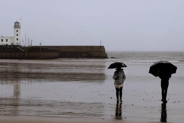
With the county of Yorkshire set to see blustery showers, the Met Office have said the heaviest showers will be seen along North Sea coastal areas
They have also advised there is a low risk of more widespread snow on the northern edge of rain bands and higher ground.
Advertisement
Hide AdAdvertisement
Hide AdStrong winds are possible across the UK, especially further south with frost and freezing fog possible, particularly in the north.

Temperatures are expected to pick up again towards the end of next week.
Here's a full forecast for Scarborough:
Thursday
The afternoon will be cloudy and windy with rain and drizzle beginning to spread from the west.
Temperatures will stay around 7°C/ 8°C but feel closer to 3°C due to south westerly winds.
Advertisement
Hide AdAdvertisement
Hide AdWet and windy weather is expected in the evening though winds will reduce this overnight.
Overnight temperatures will be milder than late at 11°C.
Friday
It will continue to be windy with blustery showers to start.
Wet weather will become less frequent in the afternoon when there is a greater chance of sunny spells.
Temperatures overnight are set to stay around 7°C but will feel cooler due to west south westerly winds.
Weekend
Advertisement
Hide AdAdvertisement
Hide AdSaturday is forecast to be cloudy but dry, with a slight chance of the odd shower moving in from the west later in the day.
The weather will turn wet and windy overnight into Sunday.
Sunday will be wet to start but the rain should clear east by 9am.
The rest of the day should be fine with sunny patches but windy.
Temperatures of 8°C will feel closer to 2°C due to the wind.
Cold winds will develop overnight.
Next week
Advertisement
Hide AdAdvertisement
Hide AdThe Met Office says weather next week will be unsettled with blustery showers on Monday which could turn wintry over higher ground.
The heaviest showers will be seen along North Sea coastal areas.
It will be rather cold with some patchy frost overnight. Temperatures are expected to feel sub-zero.
The rest of the week continues to look unsettled with patches of rain or longer spells expected throughout.
Advertisement
Hide AdAdvertisement
Hide AdThere is a low risk of more widespread snow on the northern edge of rain bands.
Strong winds are possible across the UK, especially further south,
Frost and freezing fog possible, particularly in the north.
Temperatures may begin to recover by the end of the period.