Walks: Visit the villages of Brompton and Snainton


The village is also associated with the poet William Wordsworth. This route is level and direct, with no problems to be encountered.
The approach to Brompton from Scarborough is by turning left beside the converted Cayley Arms, passing the old village school built in 1878, and the village hall. Continue following the road west along Church Lane to reach All Saints’ Church, from where this walk commences. It was here on October 4, 1802, that William Wordsworth married a local girl – Mary Hutchinson, of Gallows Hill Farm.
Advertisement
Hide AdAdvertisement
Hide AdJust opposite the church, a kissing gate provides access to a field, with a public footpath beside a mill pond. Water fed by springs has flowed into this lake for generations. It’s a popular site for ducks and resident swans. Please do not allow dog fouling, as requested.
Passing the weir, leave the field by a kissing gate and descend four steps to Low Hall Farm. Streams and bridges create an attractive scene as you keep straight ahead beside stone cottages to meet a road. Turn right, and at a ‘bend’ sign, the grounds of Low Hall are to the right.
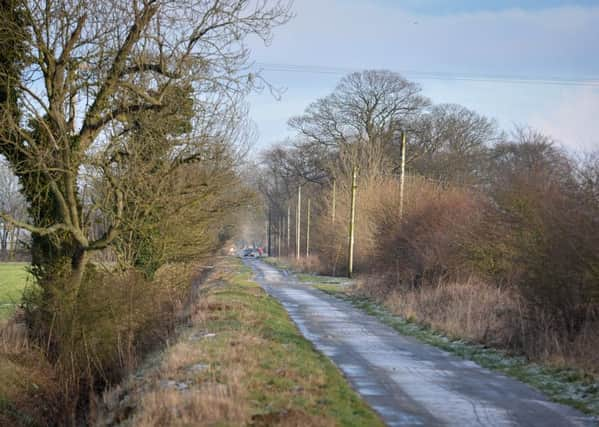
Low Hall Cottage is to the left, and rounding the bend extends flat, almost featureless terrain. Your direct route across the Carrs is by Brompton Carr Lane, soon passing a bridleway off to the left named Black Syke Lane. The word ‘syke’ indicates a rill or rivulet. This area is well drained by ditches.
Continue alongside Jasmine Caravan and Tent Park, and over two crossroads to pass Poplar House Farm. The entrance to Woodlands Farm is to your left before the road junction is reached.
Advertisement
Hide AdAdvertisement
Hide AdTurn right up Foulbridge Lane, and continue as it swings sharply right into Snainton.
At a road junction, veer right and turn immediately left beside a bungalow along a narrow lane. This public footpath is along the route of a dismantled railway. Remain on it as far as a road junction. Here, turn left up Barkers Lane. The Snainton bowling green and village hall are to your right.
The A170 lies before you. Turn right, passing the school, and take the footpath on the left side of the road for almost a mile, passing Wydale Low Cottages.
Cross the road towards a detached stone cottage.
A public footpath heads southwards beside the cottage, or you may prefer to keep to the main road return route. Otherwise continue down the edge of a field hedged to the left. Go through the fence ahead, or take the stile if it has been replaced.
Advertisement
Hide AdAdvertisement
Hide AdPlease keep any dogs leashed or under close control. Cross a paddock hedged to the right and cross the next fence as arrowed. Proceed with hedging to the right, straight ahead to the bottom of the field.
In the corner of the field boundary, leave the field and turn immediately left between trees along the edge of a spinney.
Continue beside a green and observe to your right, in the grounds of Low Hall, a fine stone-built dovecote. This feature is listed as being of special architectural interest. Beyond tall poplar trees is a sign indicating you turn right and approach the access drive to Low Hall. Turn left on to the lane, and seek signs of spring – snowdrops and aconites.
Return into the village up a country lane walled to the right. Ivy festoons walls and hedgerows with curtains of evergreen foliage.
Advertisement
Hide AdAdvertisement
Hide AdVeer right with the road to return from the western end of Church Lane to the church, and do find time to visit this lovely church in a haven of beauty.
Distance: 5.2 miles.
Refreshment: The Peacock Inn, Snainton.
NB Details were correct at the time of walking, but please remember that changes occur in the countryside.