
Final stretch of King Charles III England Coast Path opens between Easington to Bridlington
The final stretch of King Charles III England Coast Path in Yorkshire and the North East has officially opened.
The new stretch joins Bridlington to Easington, forming a continuous path from the Scottish border down to Gibraltar point, in Lincolnshire, some 397 miles. It is the latest part of the 2,700 mile (4345km) national path to be completed.
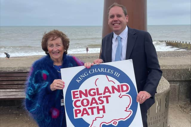

Commencing at the village of Easington, the King Charles III England Coast Path traces a route northward along the Holderness coastline.
Progressing north, the trail passes through Withernsea and crosses the first landfall of the Prime Meridian near Sand Le Mere.
It continues past the historic site of the former RAF Cowden before arriving at Hornsea.
The journey then skirts the vibrant holiday parks that dot the Holderness coast, eventually reaching the rolling dunes south of Bridlington.
From there, the path enters the town’s lively harbour and esplanade before culminating in North Bridlington.
Councillor Barbara Jefferson, cabinet member for heritage and coastal at East Riding of Yorkshire Council, said: “We are delighted to announce that the final section of the new National Trail is now open, seamlessly connecting the previously established stretches of the King Charles III England Coast Path.
“Thanks to funding from Natural England, a range of enhancements have been carried out to bring the path up to National Trail standards, with particular attention given to accessibility and environmental sustainability. Walking is a year-round activity, and its ability to extend the tourism season makes it a valuable contributor to the local economy.
“The King Charles III England Coast Path represents a positive development for coastal communities, creating stronger links between them and encouraging exploration through a continuous, scenic walking route.”