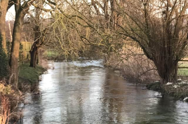
Chance to find out more about the Gypsey Race stream via new, free leaflet


The aim is to encourage people to get out and walk the trail to discover the local history and geography of the area.
The Gypsey Race is the most northerly of the chalk streams in the Yorkshire Wolds and is the only water course on the High Wolds.
Advertisement
Hide AdAdvertisement
Hide AdIt rises from a spring between Wharram-le-Street and Duggleby and flows 21 miles to the sea at Bridlington.
The leaflet writer, Janice Smith, curator at Sewerby Hall and Gardens, said: “The ‘will-o’-the-wisp quality of the stream gives it an air of mystery, and our ancestors in the Neolithic and Bronze Age sought to celebrate it with many monuments close by.
“Residents and visitors can now use the leaflet to follow the trail and chart the course of the Gypsey Race from its source to the sea, and explore our prehistoric monuments at the same time.”
Walkers should begin the trail at Duggleby Howe, and walk through the rolling hills and dry valleys. The route goes through Kirby Grindalythe, West Lutton, Foxholes and Wold Newton, where walkers can see twin barrows known as Butt Hills and Wold Newton Mound, with Willy Howe nearby.
Advertisement
Hide AdAdvertisement
Hide AdThe route goes south to Rudston and then heads for the sea at Bridlington Harbour.
The leaflet is available now at the Welcome Centre at Sewerby Hall and Gardens, and at Bridlington North and Bridlington Central libraries.