Popular Gypsey Race Trail leaflet reprinted and now available online


The document, produced by the East Riding Museums team, is now available to pick up at more locations. In response to popular demand, it’s also now available online as well.
The aim of the leaflet is to encourage people to get out and experience the trail to discover the local history and geography of the area.
Advertisement
Hide AdAdvertisement
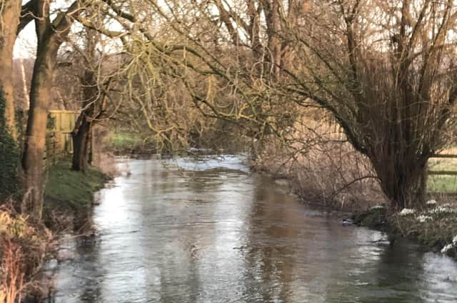
Hide AdThe Gypsey Race is the most northerly of the chalk steams in the Yorkshire Wolds and is the only water course on the High Wolds. It rises from a spring between Wharram-le-Street and Duggleby and flows to the east down the Great Wold Valley and 21 miles to the sea at Bridlington.
The stream flows underground from West Lutton to Weaverthorpe and also at Butterwick – it reappears at Burton Fleming all the way to the coast.
The leaflet writer, Janice Smith, curator at Sewerby Hall and Gardens, said: “The ‘will-o’-the-wisp’ quality of the stream gives it an air of mystery, and our ancestors in the Neolithic and Bronze Age sought to celebrate it with many monuments close by.
“Residents and visitors can now use the leaflet to follow the trail and chart the course of the Gypsey Race from its source to the sea, and explore our prehistoric monuments at the same time.
Advertisement
Hide AdAdvertisement
Hide Ad“Visitors should begin the trail at Duggleby Howe, and travel through the rolling hills and dry valleys.
“The route goes through Kirby Grindalythe, West Lutton, Foxholes and Wold Newton, where participants can see twin barrows known as Butt Hills and Wold Newton Mound , with Willy Howe nearby.
“It then goes south to Rudston, site of the 24 foot high monolith, and then heads for the sea at Bridlington Harbour, via the delights of Danes Dyke.
“I hope that this leaflet will inspire people to get out and enjoy the wonderful Yorkshire Wolds countryside, and learn more about its unique and remarkable history at the same time!”
Advertisement
Hide AdAdvertisement
Hide AdThe leaflet describes 12 features of historic interest along the way, including monuments, barrows, and the remains of a barrow cemetery at Rudston.
Funded by East Riding of Yorkshire Council and Arts Council England, the leaflet is available now at the Welcome Centre at Sewerby Hall and Gardens, and at Bridlington North and Bridlington Central libraries, as well as the Tourist Information Centre at Bridlington Spa.
It can also be downloaded from www.sewerbyhall.co.uk