
East Riding of Yorkshire Council political map set to change
A new political map for East Riding of Yorkshire Council has been revealed by the Local Government Boundary Commission for England following a consultation.
The commission’s recommendations will mean that the East Riding will have new boundaries for its council wards.
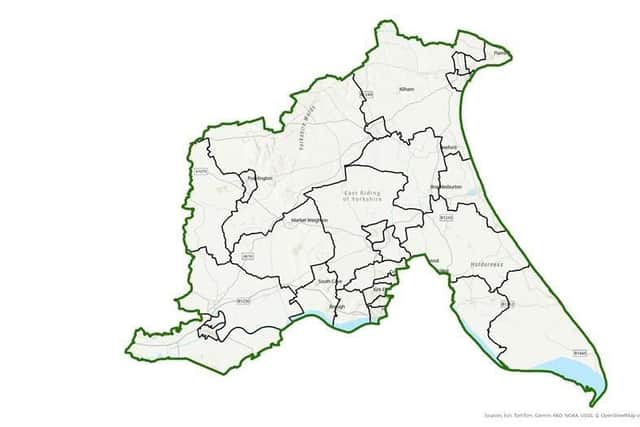

It has been reviewing this area ‘to make sure councillors will represent about the same number of electors, and that ward arrangements will help the council work effectively’.
The commission said residents should be represented by 67 councillors, the same as the existing arrangements.
There will be 28 wards, two more than there are now, consisting of 17 two-councillor wards and 11 three-councillor wards.
The boundaries of most wards will change, while seven of them will remain the same.
Publishing the recommendations Professor Colin Mellors, chair of the commission, said: “We are very grateful to people in the East Riding of Yorkshire. We looked at all the views they gave us. They helped us improve our earlier proposals.
"We believe the new arrangements will deliver electoral fairness while maintaining local ties.
"We received 145 comments from people and organisations which helped decide the new wards.”
The changes mean:
•The re-drawing the wards around Elloughton-cum-Brough, in response to new evidence on the community links in this area.
•Expanding Weighton and Holme to a three-councillor ward, based on evidence that parishes such as Sancton and Goodmanham have strong links with Market Weighton
The commission has made further changes to its earlier proposals and details can be found on its website at https://www.lgbce.org.uk/all-reviews/east-riding-yorkshire
The changes become law once Parliament has approved them. Staff at the council will ensure that the arrangements are in place for the 2027 elections.