
Is there even more rain on the way? Here's your weather report for Scarborough, Whitby and Bridlington
The Met Office predicts that after a wet weekend, this week the Yorkshire coast will see even more rain and stronger winds.
The pollen forecast is set at ‘medium’ for today and tomorrow, but will increase to ‘high’ on Wednesday.
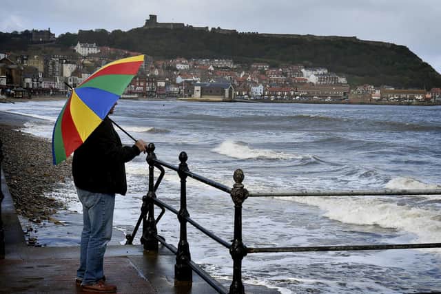

Here’s the weather forecast for the Yorkshire coast this week, according to the Met Office:
Today:
A largely dry and bright start, with sunny spells for many. However, the cloud will bubble up from mid-morning to give a few isolated showers, locally heavy, especially into the afternoon. Feeling warmer compared to Sunday, with light winds.
Maximum temperature 22 °C.
Winds may be around 16mph, making it feel like 14°C.
High tide in Scarborough is expected around 06:25am and low tide is expected at 13:01pm.
Tonight:
Any showers soon fading by this evening. Turning increasingly cloudy with freshening winds overnight, before outbreaks of rain, locally heavy, arrives from the south by dawn. A milder night.
Minimum temperature 8 °C.
Tuesday:
Cloud and outbreaks of rain, locally heavy, gradually clearing northwards during the morning. Brighter skies following with some heavy, possibly thundery, showers during the afternoon. Warm and humid too. Breezy.
Maximum temperature 21 °C.
Winds may be around 27mph, making it feel like 13°C.
High tide in Scarborough is expected around 06:25am and low tide is expected at 13:38pm.
Wednesday:
Sunny intervals changing to cloudy by late morning. Cloudy with outbreaks of rain over western hills Wednesday, drier and brighter elsewhere. Often breezy.
Maximum temperature 19 °C.
Winds may be around 25mph, making it feel like 15°C.
High tide in Scarborough is expected around 07:42am and low tide is expected at 14:15pm.