
Snow update: Ice weather warning and flood alert issued for Yorkshire coast
Another weather warning has been issued by the Met Office and the River Derwent could possibly flood according to the Environment Agency.
Wintry showers will lead to icy patches and some disruption on Friday (November 21) morning. The yellow weather warning for ice will be in place from 12am tomorrow until 12pm midday.
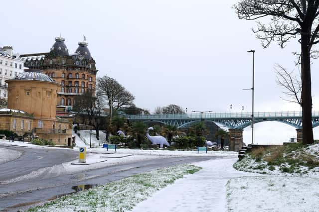

There will probably some icy patches on some untreated roads, pavements and cycle paths. People could suffer injuries from slips and falls on icy surfaces.
The Met Office have said: “Wintry showers will continue to feed inland from the North Sea through tonight (November 20) before tending to ease away on Friday morning.
"At low levels the showers will mainly fall as rain, sleet or small hail, while above 250 m some will fall as snow with further small accumulations of 1 to 3 cm possible. As temperatures will be widely below freezing showers at lower levels will lead to icy patches developing in many locations.
"If you need to make a journey on foot, try to use pavements along main roads which are likely to be less slippery. Similarly, if cycling, try and stick to main roads which are more likely to have been treated. “Give yourself the best chance of avoiding delays by checking road conditions if driving, or bus and train timetables, amending your travel plans if necessary. “Be prepared for weather warnings to change: when a weather warning is issued, the Met Office recommends staying up to date with the weather forecast in your area.”
Another issue that could affect communities across the region is a ‘be prepared’ flood alert announced by the Environment Agency for the for Upper River Derwent. The alert has been in place since 9am this morning and will be updated at 9pm unless the situation changes.
The alert covers the Upper Derwent and Scarborough areas, including land around The Sea Cut at Scalby, Throxenby Beck, Old Malton, and Priorpot Beck in Norton. Hunmanby, Flixton, Seamer, Scarborough and Sherburn are also among the areas that could be affected.
An Environment Agency spokesperson said: “Locations most affected will be low lying land and roads near rivers, particularly in the Low Marishes area. We are monitoring rainfall and river levels .
“Take care and avoid walking, cycling or driving through flood water.”