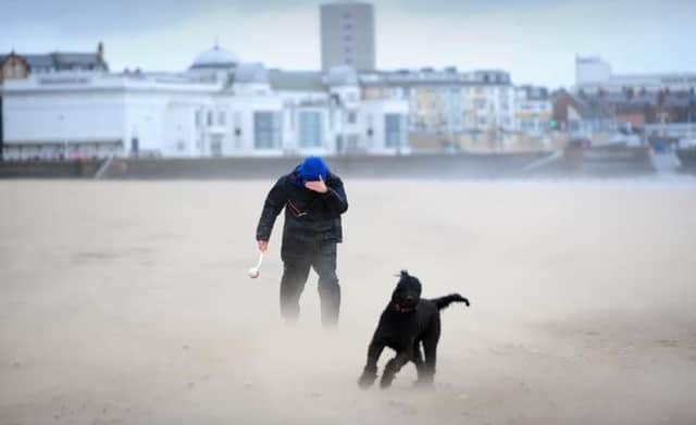
STORM JOCELYN: Further weather warnings as another storm is set to batter Scarborough, Whitby and Bridlington


The weekend saw the Yorkshire coast get hit by Storm Isha, with strong winds and an amber wind warning hitting the area between 6pm last night (January 21) and 9am this morning (January 22).
Although the storm will become less wild, a separate yellow wind warning will stay in place across the Yorkshire coast until 12pm today.
Advertisement
Hide AdAdvertisement
Hide AdAs the week progresses, further strong winds expected across the coast, according to the Met Office.
A spell of strong winds associated with Storm Jocelyn is expected to affect the Yorkshire coast, leading to some localised disruption.
The new yellow wind warning is in place between 12pm tomorrow (January 23) until 3pm Wednesday (January 24).
The warning is in place for northern UK, including Scarborough, Whitby and Bridlington.
Advertisement
Hide AdAdvertisement
Hide AdAccording to the Met Office, strong winds could cause injuries and danger to life from flying debris.
Some bus and train services could be affected alongside delays to road, rail, air and ferry transport expected- so journeys could take longer than usual.
Coastal routes, sea fronts and coastal communities will be affected by spray and/or large waves. There will also be delays for high-sided vehicles on exposed routes and bridges.
There is also a small chance of injuries and danger to life that could occur from large waves and beach material being thrown onto sea fronts, coastal roads and properties.
Advertisement
Hide AdAdvertisement
Hide AdThe Met Office have said: “A spell of strong winds associated with Storm Jocelyn is expected to develop across this region during Tuesday afternoon, peaking overnight into Wednesday morning, before easing across most areas by midday.
"However, winds are likely to remain strong across and just to the east of the Pennines until early Wednesday afternoon.
Peak gusts of 45-55mph are likely inland, perhaps 65mph on some exposed coasts.”
Visit https://www.metoffice.gov.uk/ for more information.